Cherohala Skyway: A Motorcycle Riding Guide
EXPLORE Tours NEAR Cherohala Skyway
VIEW 22 MOTORCYCLE RENTALS IN Cherohala Skyway
Earn Money By Listing a Guided Motorcycle Tour in Cherohala Skyway
Turn your favorite ride into an unforgettable experience for others, and make some extra cash while doing it. List your guided motorcycle tour in Cherohala Skyway on Riders Share and connect with riders looking for their next great adventure.
Cherohala Skyway: A Motorcycle Riding Guide
A lot of motorcycle riders don't hear about the Cherohala Skyway until after they've already booked a trip to ride the Tail of the Dragon. They knock out the Dragon's 318 curves in 11 miles, head back to the lodge, and someone there asks if they made it down to the Cherohala while they were in the area. The Cherohala is a 43-mile ride between Tellico Plains, Tennessee and Robbinsville, North Carolina, with overlook views that reach into three states and stretches of road quiet enough to count passing cars on one hand. Where the Dragon throws everything at you in 11 miles, the Cherohala asks you to settle in for an afternoon, which has quietly made it the tail of the dragon alternative more first-timers are planning their trips around.
43
Miles of Road
5,390 ft
Highest Point
15
Signed Overlooks
2
States & Forests
Cherohala Skyway Guide
- Cherohala Skyway Map & Directions
- A Brief History of the Cherohala Skyway
- The Tennessee Side of the Ride
- The North Carolina Side of the Ride
- The Best Stops on the Cherohala Skyway
- Cherohala Skyway vs. Tail of the Dragon
- When is the Best Time to Ride the Cherohala Skyway?
- Gear, Fuel, and Safety on the Route
- Building a Weekend Around the Cherohala Skyway
- What Motorcycle is Best for Riding the Cherohala Skyway?
- Rent a Motorcycle for the Cherohala Skyway
Cherohala Skyway Map & Directions
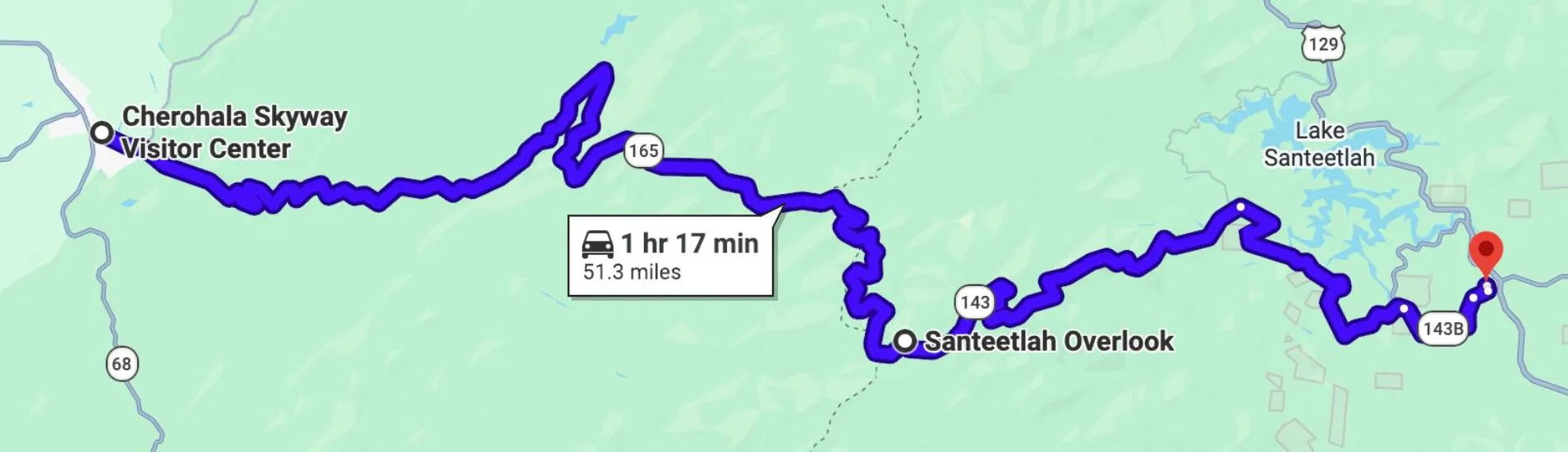
Note: The Cherohala is officially 43 miles end to end, but the map above shows 51. The official start markers sit a few miles outside both Tellico Plains and Robbinsville, and the longer mileage on the map reflects the town-to-town ride most riders actually do.
Where is the Cherohala Skyway?
The Cherohala Skyway runs 43 miles between Tellico Plains, Tennessee and Robbinsville, North Carolina. From the west, riders pick up the road as the TN-165 motorcycle route at the edge of Tellico Plains, and from the east, the same road continues as the NC-143 motorcycle route through Graham County into Robbinsville. The route crosses two national forests along the way, the Cherokee on the Tennessee end and the Nantahala on the North Carolina end, and combining the two forest names is where the road got its own.
- Tellico Plains, TN: about 90 minutes southwest of Knoxville off US-411. The Tellico Plains motorcycle scene is small, though the town serves as the natural western basecamp for the route.
- Robbinsville, NC: about 2.5 hours north of Atlanta and 20 minutes south of Deals Gap. Most Robbinsville NC motorcycle traffic comes from riders pairing the Cherohala with the Tail of the Dragon.
Riders flying into McGhee Tyson Airport in Knoxville usually pick up the road from the Tellico Plains end. Riders flying into Hartsfield-Jackson in Atlanta usually approach from the Robbinsville end, often as part of a longer ride through the North Georgia mountains.
How Long is the Cherohala Skyway?
The Cherohala Skyway is 43 miles long, split pretty evenly between the Tennessee and North Carolina sides. Total ride time tracks with how much you stop:
No Stops
1 hr 15 min
3 to 4 Overlooks
2 to 3 hours
Full Day with Side Trips
6 to 7 hours
A Brief History of the Cherohala Skyway
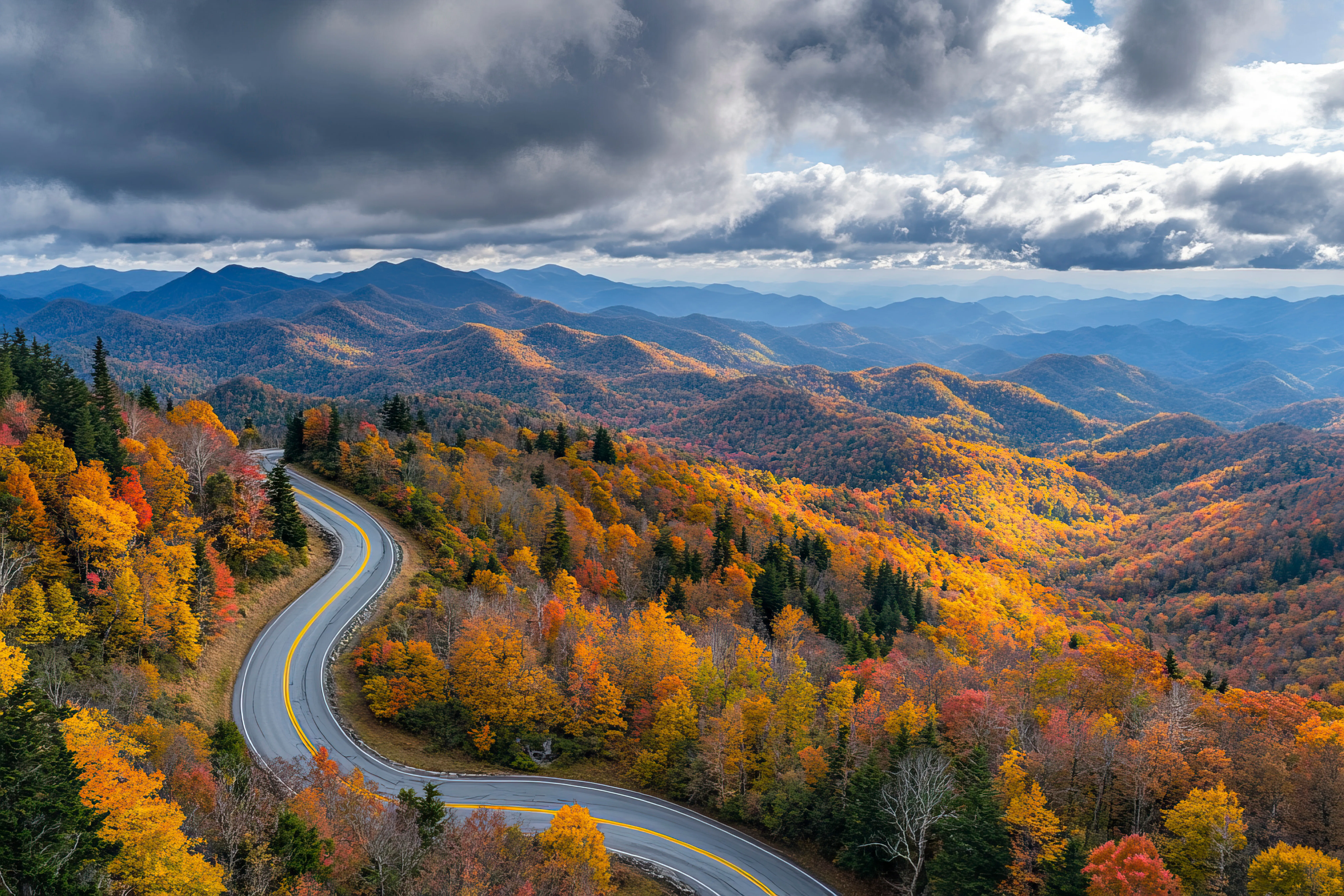
The Cherohala's history starts a few decades before the road itself does. In 1958, a Tennessean named Sam Williams pitched the local Kiwanis Club on the idea of leading a memorial wagon train from his hometown of Tellico Plains across the mountains into North Carolina, roughly tracing the path the early settlers took west. Six weeks later, 67 covered wagons and over 300 horseback riders gathered at the state line for the first commemorative trip, and what started as a one-off became annual, until eventually the conversation turned to paving an actual road across the same mountains.
How the Cherohala Skyway Got Built
Groundbreaking
1962
Opened to Traffic
1996
Final Cost
$100 million
Construction broke ground in 1962, the road opened to traffic in 1996 (34 years later, at a final cost of $100 million), and today the Cherohala is named one of the top 10 motorcycle rides in North America by the Discovery Channel.
All of that matters to you as a rider for one reason: the long build time is the reason the Cherohala rides the way it does. The engineers had 34 years to lay the road into the mountains instead of cutting it through them, and the result is the long, flowing miles the road is known for today.
The Tennessee Side of the Ride
Length
23 miles
Route
TN-165
Elevation Gain
~4,000 ft
The Tennessee side covers the first 23 miles of the route on TN-165 from Tellico Plains to the state line at Big Junction. It's the half of the Cherohala where you feel like you're climbing, gaining roughly 4,000 feet between the entrance and the ridge.
What to Expect on the Tennessee Side
-
Mile 0 to 5
The road follows the Tellico River under tree cover. Shaded, cool, and the easiest part of the climb. Watch for slower traffic pulling off for river access.
-
Mile 5 to 15
The road leaves the river and starts climbing in earnest. Cell signal drops out for most riders around mile 8.
-
Mile 15 to 23
The road levels out as you near the ridge. The air gets cooler, the first overlooks appear (Turkey Creek and Unicoi Crest), and you cross into North Carolina at Big Junction.
The North Carolina Side of the Ride
Length
18 miles
Route
NC-143
Highest Point
5,390 ft
Cross into North Carolina at Big Junction, and the Cherohala stops feeling like a road through the mountains and starts feeling like a road on top of them. The North Carolina side runs 18 miles on NC-143, almost all of it above 5,000 feet, with long-distance views into the Great Smoky Mountains, the Snowbird Wilderness, and the Slickrock Wilderness.
What to Expect on the North Carolina Side
-
Mile 0 to 5
The highest part of the road. Santeetlah Overlook sits at 5,390 feet, and the views reach into three states on a clear day.
-
Mile 5 to 12
The section where most of the overlooks worth a stop are spaced out. Plan to pull off two or three times here.
-
Mile 12 to 18
The descent into Robbinsville. Elevation drops fast, the air warms back up, and the road follows Santeetlah Creek the rest of the way into town.
What's the Elevation of the Cherohala Skyway?
The Cherohala Skyway reaches its highest point at Santeetlah Overlook at 5,390 feet, with 15 miles of the road above the 5,000-foot mark. Elevation is what shapes the ride more than anything else. It's the reason the ridge stays cool in summer, the reason you need real layers even on a warm valley day, and the reason the views from Santeetlah reach into Tennessee, North Carolina, and Georgia at once on a clear afternoon.
Ready to ride the Cherohala?
Browse motorcycle rentals in Knoxville or Atlanta and book your next ride today.
Browse BikesThe Best Stops on the Cherohala Skyway
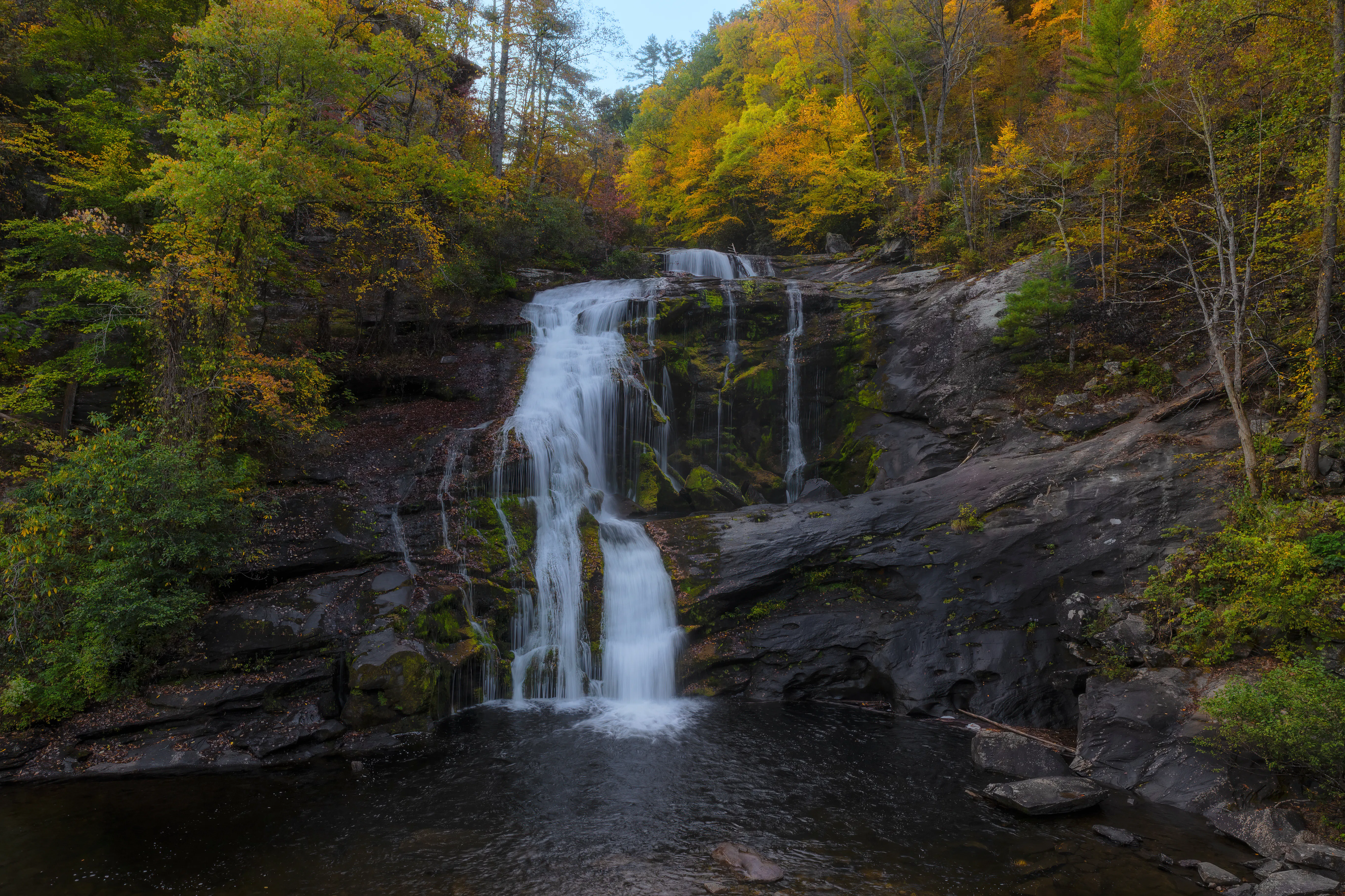
The Skyway has 15 overlooks signed along its 43 miles, plus a couple of side trips off the main road. Trying to hit them all in one ride is a fast way to lose an afternoon, so the real question becomes which ones earn the stop and which ones you can ride past without missing much. Here's how we'd rank them.
Which of the 15 Overlooks Are Worth Stopping At?
The three must-stops are Santeetlah Overlook, Big Junction, and Hooper Bald. They cover the highest point on the road, the state line, and a walking summit, which is everything you want from a single-day ride if you can only pick three.
Santeetlah Overlook
Elevation
5,390 ft
Side
North Carolina
Views
3 states
The highest point on the Skyway and the headline view. Panoramic looks at the Smokies, Snowbird, and Slickrock. If you only stop once, stop here.
Big Junction
Sits right at the NC/TN state line, with views in both directions. A good spot for a state-line photo and a quick stretch.
Hooper Bald
A grassy mountain summit on the NC side with a short walking path. One of the few overlooks where you can actually walk away from the road and into the view.
Four More Overlooks Worth the Pull-Off
- Spirit Ridge: the most accessible overlook on the Skyway, with a paved walkway and ramps. Open, easy access, fast in and out.
- Brushy Ridge: open ridge views on the NC side.
- Lake View: a distant look at Lake Santeetlah below.
- Stratton Ridge: another wide-open ridge overlook.
The remaining overlooks (Unicoi Crest, Mud Gap Vista, Turkey Creek, Haw Knob, and the smaller pull-offs in between) are short stops you'll see in passing. Skip them if you're already running long.
Two Side Trips Off the Skyway
- Indian Boundary Lake: a 96-acre lake about 13 miles east of Tellico Plains, with a swim beach, a campground, and a quiet picnic area. A nice change of pace from the ridge.
- Joyce Kilmer Memorial Forest: an old-growth forest about 15 miles south of Robbinsville, with 400-year-old trees and a walking trail. A solid detour if you're staying overnight in the area.
Cherohala Skyway vs. Tail of the Dragon
These two roads come up in the same conversation more than any other pair in the Southeast. They sit 45 minutes apart on the map, they cross the same range of mountains, and most riders flying in for one of them will ride both before they fly home. The two roads, though, deliver completely different days from a motorcycle, and treating them as interchangeable is the most common mistake first-timers make.
Cherohala Skyway
- Length
- 43 miles
- Curves
- Long, flowing curves
- Pace
- Relaxed, full afternoon
- Top Elevation
- 5,390 ft
- Traffic
- Light
- Photographers
- None
- Best For
- Scenic views, all-day ride
Tail of the Dragon
- Length
- 11 miles
- Curves
- 318 tight curves
- Pace
- Intense, technical
- Top Elevation
- ~1,980 ft
- Traffic
- Heavy in season
- Photographers
- Posted along the route
- Best For
- Tight cornering, technical riding
Is the Cherohala Skyway Better Than the Dragon?
The Cherohala and the Dragon aren't really competing roads, they're built for different kinds of days. Pick the Cherohala when you want long views, light traffic, and a relaxed pace. Pick the Dragon when you want a workout, you're comfortable on tight technical roads, and you don't mind sharing 11 miles with a few hundred other riders trying to outrun the photographers.
How to Ride Both in One Day
The two roads sit 45 minutes apart, which makes a same-day double-up the most common way to ride them. Basecamp out of Iron Horse Motorcycle Lodge in Robbinsville. It puts you within easy reach of the Deals Gap motorcycle resort at the north end of the Dragon and the Robbinsville approach to the Cherohala. Here's how we'd run the day:
-
Morning
Ride the Dragon. Traffic is at its lightest before 10 a.m. and the photographers haven't fully set up yet.
-
Midday
Fuel up in Robbinsville and grab lunch in town.
-
Afternoon
Ride the Cherohala west to Tellico Plains. Afternoon light flatters the overlooks on the NC side.
-
Evening
Ride back east across the Cherohala. Same road, completely different look in the changing light.
Tip: If you only have time for one direction on the Cherohala, ride west to east in the afternoon so the sun is at your back instead of in your eyes at Santeetlah.
Plan a Cherohala and Dragon weekend
Most riders pair both roads on the same trip. Browse motorcycle rentals in Knoxville and pick up a bike close to both routes.
Find a BikeWhen is the Best Time to Ride the Cherohala Skyway?
The riding season on the Cherohala runs from May through October, with peak conditions in late September and early October when the fall colors hit at high elevation. The road itself stays open most of the year, though open and rideable aren't the same thing in the mountains.
The road is clear of snow, though the higher overlooks can still have ice in the mornings. Bring layers and expect runoff debris in the road.
Prime time. Cool ridge temperatures even on humid valley days, long daylight, and less crowded than the Blue Ridge Parkway.
The headline season. Foliage peaks at high elevation about two weeks before it peaks in the valley, so plan to ride between late September and the second week of October if you're chasing color. Expect heavier traffic and frost on the ridge in the mornings.
Unpredictable. The road is technically open, mornings are cold, fog comes in fast, and you'll have most of the Skyway to yourself if you can deal with it.
Is the Road Open in Winter?
The Cherohala Skyway stays officially open through the winter, but it isn't consistently rideable. Snow and ice close sections of the road regularly between December and March, and even on clear days, fog can roll in across the ridge with almost no warning. The Forest Service updates closure status throughout the winter, so if you're considering a December or January ride, check conditions the same day you head out.
Gear, Fuel, and Safety on the Route

You'll spend a good part of the day above 5,000 feet on a road with no services, spotty signal, and weather that doesn't match what you left in the valley. Here's what to plan for before you head up.
Layer Up for the Ridge
The temperature drop from the valley to the ridge runs 15 to 20 degrees, and the wind makes it feel worse. If it's 90 in Tellico Plains, expect low 60s at Santeetlah. Pack the following, even in summer:
- Mid-weight base layer
- Windproof shell or riding jacket with a liner
- Full-finger gloves (mesh gloves are fine in the valley, not on the ridge)
Watch for Wildlife
Deer and wild boar show up on the road regularly, and the Cataloochee elk herd has spread west into the lower NC-143 stretch near Joyce Kilmer. The highest-risk windows for a sighting are:
- Dawn and dusk
- The first hour after a rain
- Fall mating season (mid-September through October)
Plan Around the Cell Gaps
Roughly 25 of the 43 miles have no signal on any major carrier. The Visitor Center in Tellico Plains and downtown Robbinsville are your last chances to send a text on either end. If you're riding solo, do one of the following before you head up:
- Drop a pin with someone who'll be checking in
- Carry a satellite messenger like a Garmin inReach
- Pre-download offline maps so you aren't pulling out your phone mid-route
Respect the Patrol
Both Tennessee and North Carolina patrol the Cherohala, and they're most active on weekends and through fall foliage season. They aren't out to ruin your day, but the curves on the NC ridge are where most riders get caught running 10 over. Ride the posted limits through that section and you'll be fine.
Mind the Crosswinds
Santeetlah and Hooper Bald sit on an open ridgeline with no tree cover, and gusts at the overlooks can hit 25 to 35 mph on a clear fall day. It hits taller riders and big touring bikes the hardest. When you pull into the overlooks, keep both hands on the bars until you're fully stopped, since the wind tends to shift direction right as you crest the ridge.
Are There Gas Stations on the Cherohala Skyway?
There are no gas stations on the 43 miles of the Cherohala itself, so fuel up at one end before you start. Tellico Plains has two stations on TN-165 within a half mile of the Skyway entrance (a Marathon and a BP, both with 24-hour pumps), and Robbinsville has three stations along US-129 and NC-143 in town. Plan on at least 70 miles of usable tank range to clear the route comfortably, and if you're riding a smaller-tank bike (anything under 3.5 gallons), top off at both ends.
Building a Weekend Around the Cherohala Skyway
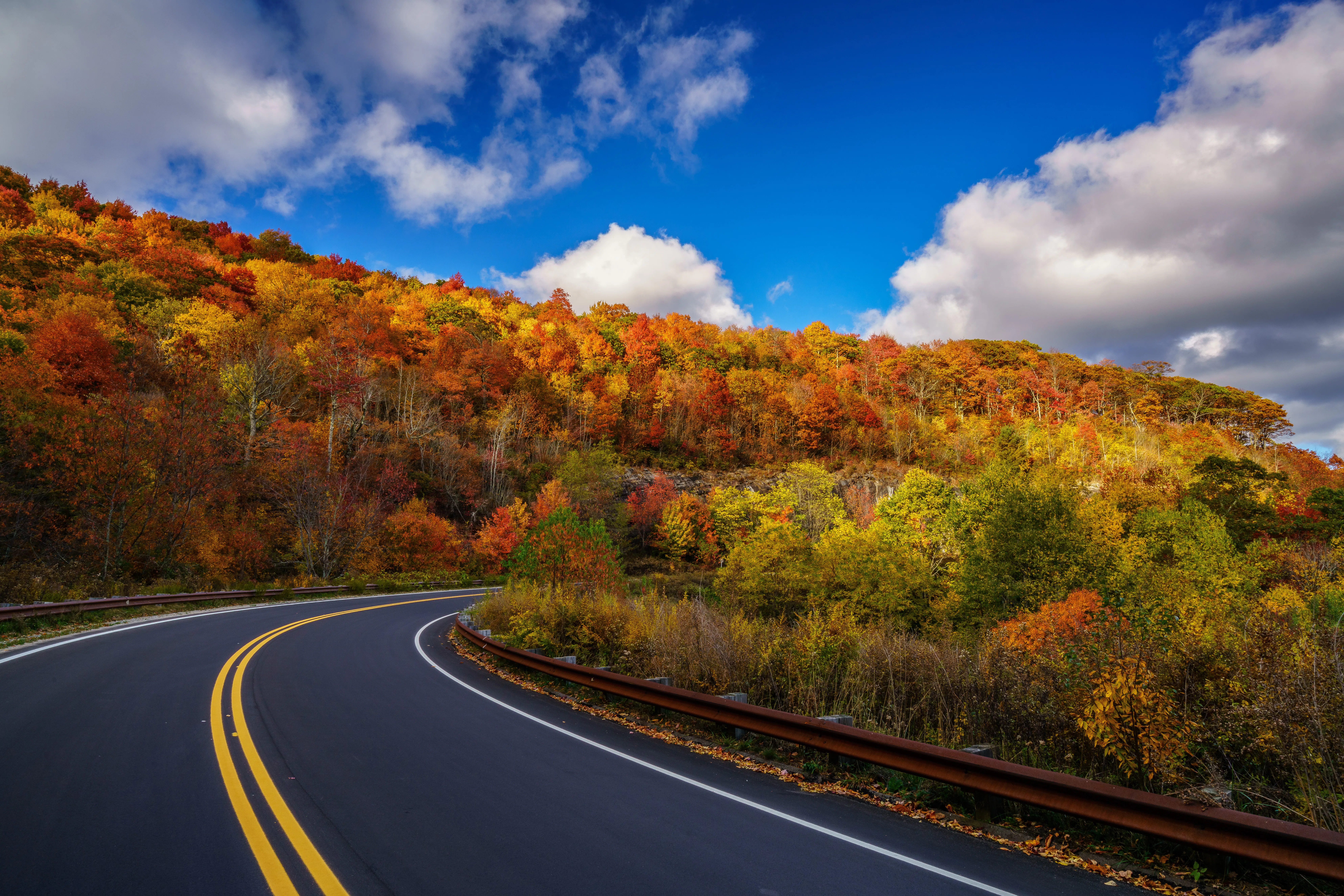
The Cherohala itself is a half-day ride, which is short for anyone flying in from out of state. The good news is the two roads that bookend it (the Tail of the Dragon to the north and the North Georgia mountain roads to the south) are also worth riding, and most riders who come down for the Skyway end up turning the trip into three or four days. The setup depends on which airport you fly into.
From Knoxville, Add the Tail of the Dragon and the Foothills Parkway
From McGhee Tyson, you're 90 minutes from the Skyway, an hour from the Tail of the Dragon, and 45 minutes from the Foothills Parkway, which means you can ride all three from one basecamp. Robbinsville is the spot to stay, since it sits in the middle of the triangle.
-
Day 1
Ride from Knoxville south through the Foothills Parkway and over the Tail of the Dragon into Robbinsville. Check in at Iron Horse Motorcycle Lodge or one of the smaller cabins in town.
-
Day 2
Ride the Cherohala out and back. Lunch in Tellico Plains, dinner in Robbinsville.
-
Day 3
Ride back to Knoxville, either back over the Dragon for one more pass or through Great Smoky Mountains National Park.
Total mileage: 280 to 320 miles depending on the return route.
From Atlanta, Ride Down to Suches and the North Georgia Mountains
Hartsfield-Jackson is three hours south of the Skyway, but the ride up isn't a slog. US-19 takes you through the Chattahoochee National Forest, where Wolf Pen Gap Road, the Blood Mountain Loop, and the Suches loop give you a full day of riding before you ever reach the Cherohala. Four days is the right length to fit it all in.
-
Day 1
Ride north out of Atlanta on US-19 into the Chattahoochee, picking up Wolf Pen Gap Road and the Blood Mountain Loop on the way. Overnight in Suches, Georgia at Two Wheels of Suches.
-
Day 2
Ride north through Murphy, NC up to Robbinsville and settle in for the night.
-
Day 3
Ride the Cherohala. Pair it with the Tail of the Dragon if you want the long day.
-
Day 4
Ride back to Atlanta, either down through the Nantahala Gorge or back through Suches for another pass at Wolf Pen Gap.
Total mileage: 500 to 600 miles depending on the return route.
Build your trip around the Skyway
Pick up a bike in Knoxville for the Dragon and Foothills Parkway pairing, or in Atlanta for the North Georgia approach.
See RentalsWhat Motorcycle is Best for Riding the Cherohala Skyway?
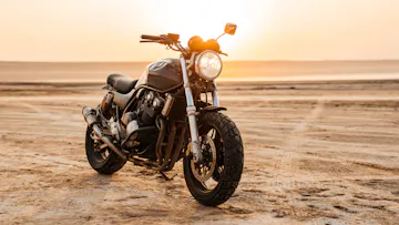
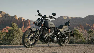
The Cherohala favors comfort over aggression. With 43 miles of long, flowing curves, no services in between, and cool air at the top, what you want is a bike that handles a steady pace and a few cool hours on the ridge.
The natural fit for the Skyway's relaxed pace and the highway miles getting there from Knoxville or Atlanta.
Wind protection and saddle range, ideal if you're folding the Skyway into a longer trip through North Georgia or East Tennessee.
Standard or Naked
Light, easy to handle, and a good fit if you're adding the Tail of the Dragon to the day.
The right pick if you're heading off the Skyway for Bald River Falls or the gravel roads around Joyce Kilmer.
Rent a Motorcycle for the Cherohala Skyway
With more than 286,000 successful rides completed through Riders Share, it's easy to find the right motorcycle for the Cherohala Skyway. Browse Harley-Davidson, Honda, BMW, Yamaha, Indian, Kawasaki, Ducati, Triumph, and more, and rent the motorcycle that fits the kind of ride you have in mind.
Browse Motorcycle Rentals in Knoxville, TN
Starting from the Tennessee side? Knoxville is the closest pickup point to the Cherohala Skyway, with more than 10 motorcycle types available for everything from a quick ride across the Skyway to a full weekend that includes the Tail of the Dragon and Great Smoky Mountains.
Book a BikeBrowse Motorcycle Rentals in Atlanta, GA
Planning a longer North Georgia ride? Atlanta has 80+ motorcycle rentals available, making it easy to find the bike that fits your trip before heading toward the Cherohala Skyway, Suches, Blood Mountain, and the Chattahoochee National Forest.
Book a BikeThe Riders Share Blog



Nationwide Motorcycle Rentals

Sign up for our newsletter
Mon - Fri: 8-8 CT
Weekends: 9-8 CT
